Public
Presentations, publications, funding, public accessible data
We aspire to share research output as soon as it is ready under the CC BY-SA 4.0 license or terms of the outlets in which research is published.
Khan et al.
Khan, A. M., Stoy, P. C., Joiner, J., Baldocchi, D., Verfaillie, J., Chen, M., & Otkin, J. A. (2022).
The diurnal dynamics of gross primary productivity using observations from the Advanced Baseline Imager on the Geostationary Operational Environmental Satellite-R Series at an oak savanna ecosystem.
Journal of Geophysical Research: Biogeosciences, 127, e2021JG006701.
Preprints
- Ranjbar S, Losos D, Hoffman S, Arabi S, Desai A, Stoy PC (in review) Near real-time mapping of all-sky land surface temperature from GOES-R using machine learning. Submitted to Journal of Geophysical Research: Machine Learning and Computation. DOI: 10.22541/essoar.172801403.30077549/v1
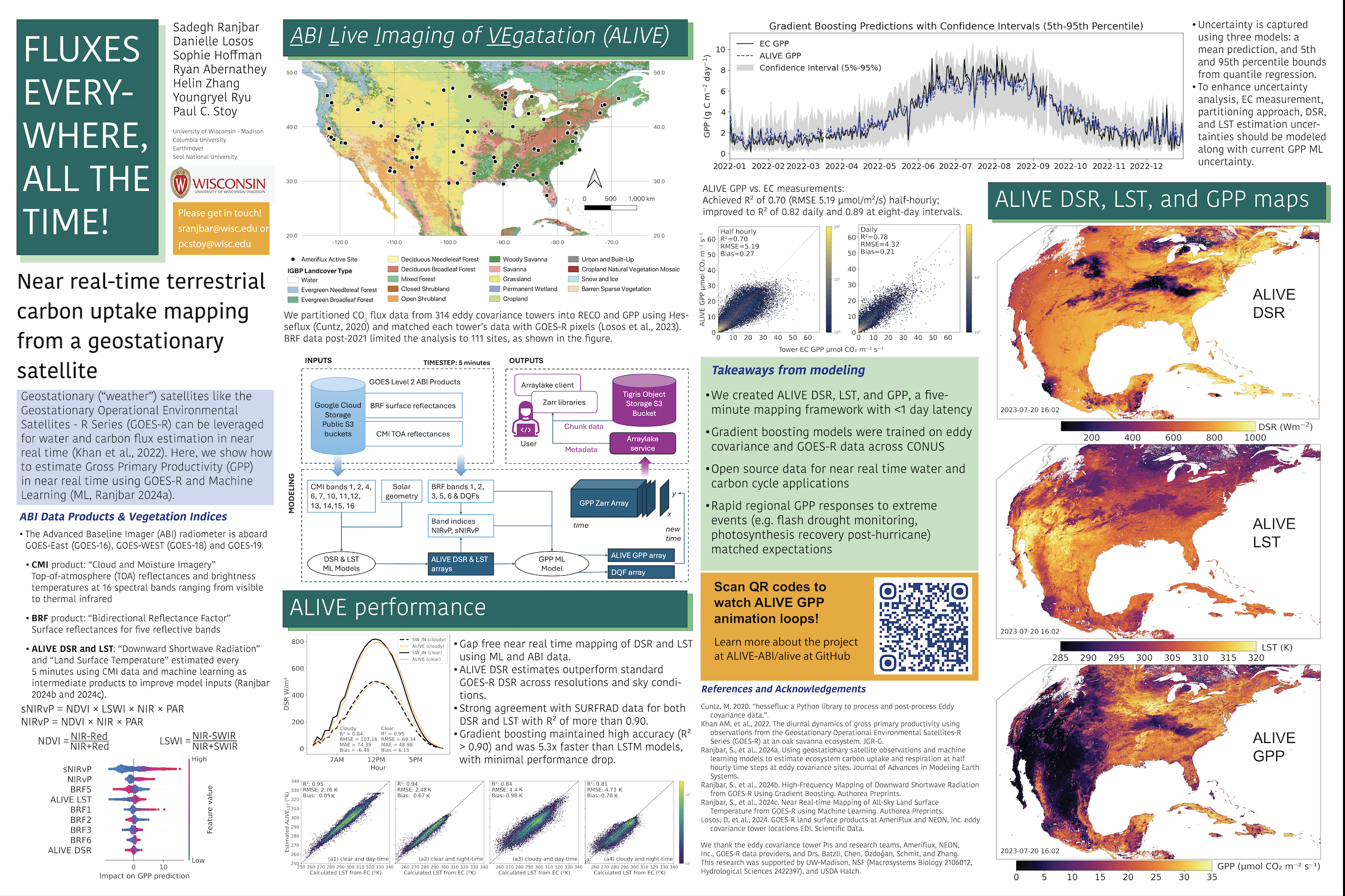
- Losos D, Ranjbar S, Hoffman S, Abernathey R, Desai AR, Otkin J, Zhang H, Ryu Y, Stoy PC (in review) Rapid changes in terrestrial carbon dioxide uptake captured in near-real time from a geostationary satellite: the ALIVE framework. Submitted to Remote Sensing of Environment. DOI: 10.2139/ssrn.4884876
Publications
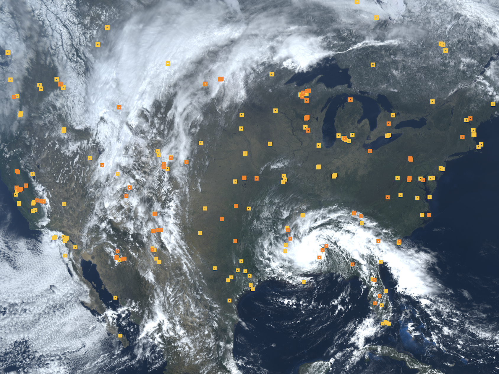
- Losos D, Hoffman S, Stoy PC (2024) GOES-R land surface products at Western Hemisphere eddy covariance tower locations. Sci Data 11, 277. DOI: 10.1038/s41597-024-03071-z
- Ranjbar S, Losos D, Dechant B, Hoffman S, Başakın EE, Stoy PC (2024) Harnessing information from shortwave infrared reflectance bands to enhance satellite-based estimates of Gross Primary Productivity. Journal of Geophysical Research: Biogeosciences 129(11). DOI: 10.1029/e2024JG008240
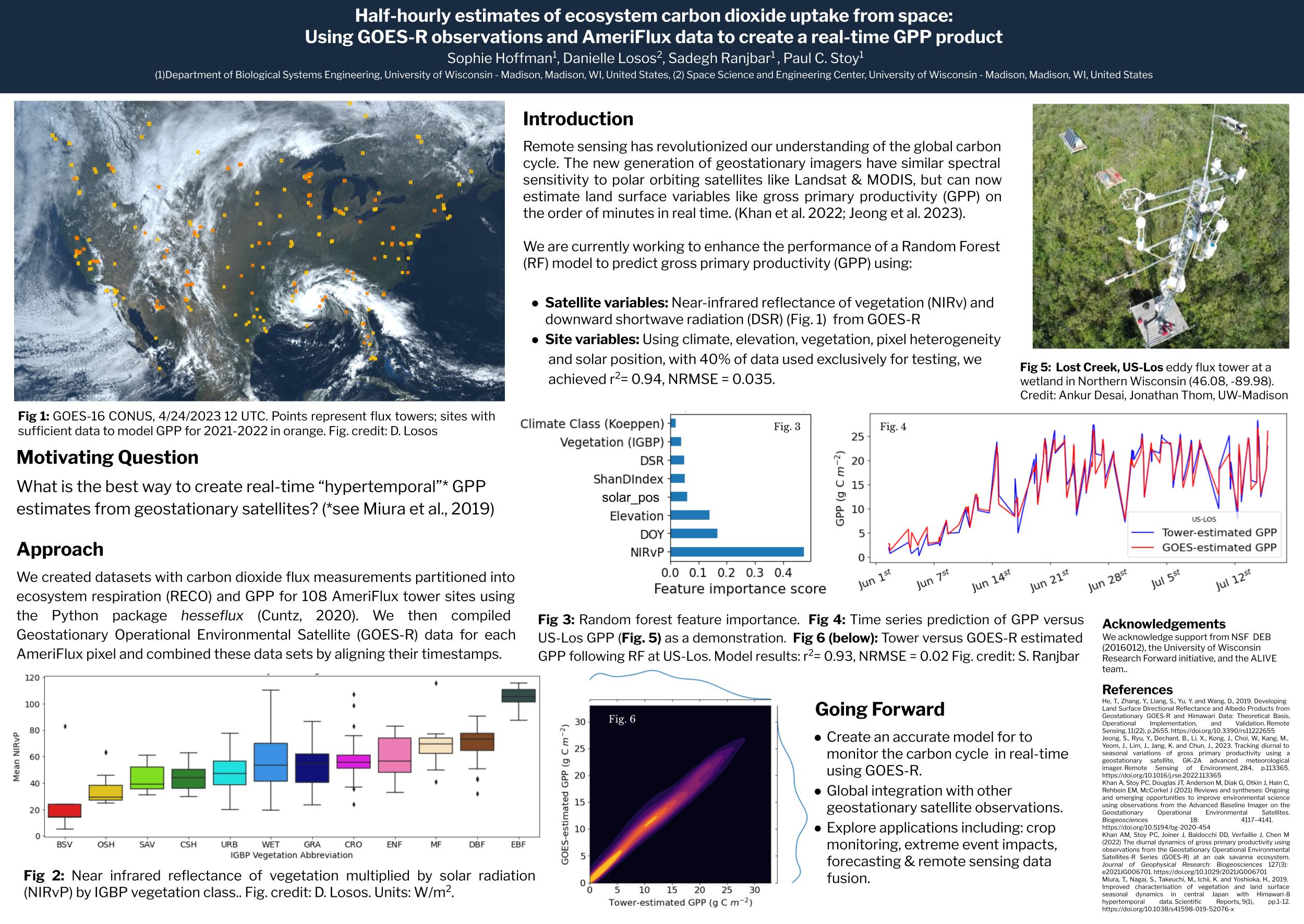
- Ranjbar S, Losos D, Hoffman S, Cuntz M, Stoy PC (2024) Geostationary satellite observations can accurately estimate ecosystem carbon uptake and respiration at half hourly time steps at eddy covariance sites. Journal of Advances in Modeling Earth Systems 16(10). DOI: 10.1029/e2024MS004341
- Ranjbar S, Losos D, Hoffman S, Stoy PC (2024) High-frequency mapping of downward shortwave radiation from GOES-R using Gradient Boosting. IEEE Journal of Selected Topics in Applied Earth Observations and Remote Sensing (J-STARS) 17, 11958 - 11968. DOI: 10.1109/JSTARS.2024.3420148
- Ojaswee Shrestha, Anam Khan, Jessica A. Torrion, W. Adam Sigler, Kent McVay, Scott L. Powell, Paul C. Stoy (2025) Actual crop coefficients for cereal crops in Montana USA from eddy covariance observations. Agricultural Water Management Volume 316, 109561. DOI: 10.1016/j.agwat.2025.109561
This video is part of the training materials for the 2023 GOES-R DataJam. During this session, beginners to Earth Engine will learn how to access and process GOES-R data (specifically fire detection and reflectances) using the Earth Engine Code Editor. The 2020 California wildfires will be used as a case study.
Video credit: Danielle Losos
Funding
- Google BenchFlux: Scale-aware Benchmarks for Nature-based Climate Solutions Using Flux Measurements and Earth Observations.
- NSF Hydrological Sciences. A data-driven approach to uncover the response of evaporation and transpiration to changes in hydrometeorology across the United States.
- University of Wisconsin Hatch Formula Funds: Improving crop yield estimates by adding geostationary satellite measurements to machine learning techniques.
- University of Wisconsin Research Forward: Measuring land surface carbon uptake in real time using geostationary satellites.
- NSF Macrosystems Biology: MSA: Rapid assessment of the carbon cycle consequences of ecosystem disturbances.
